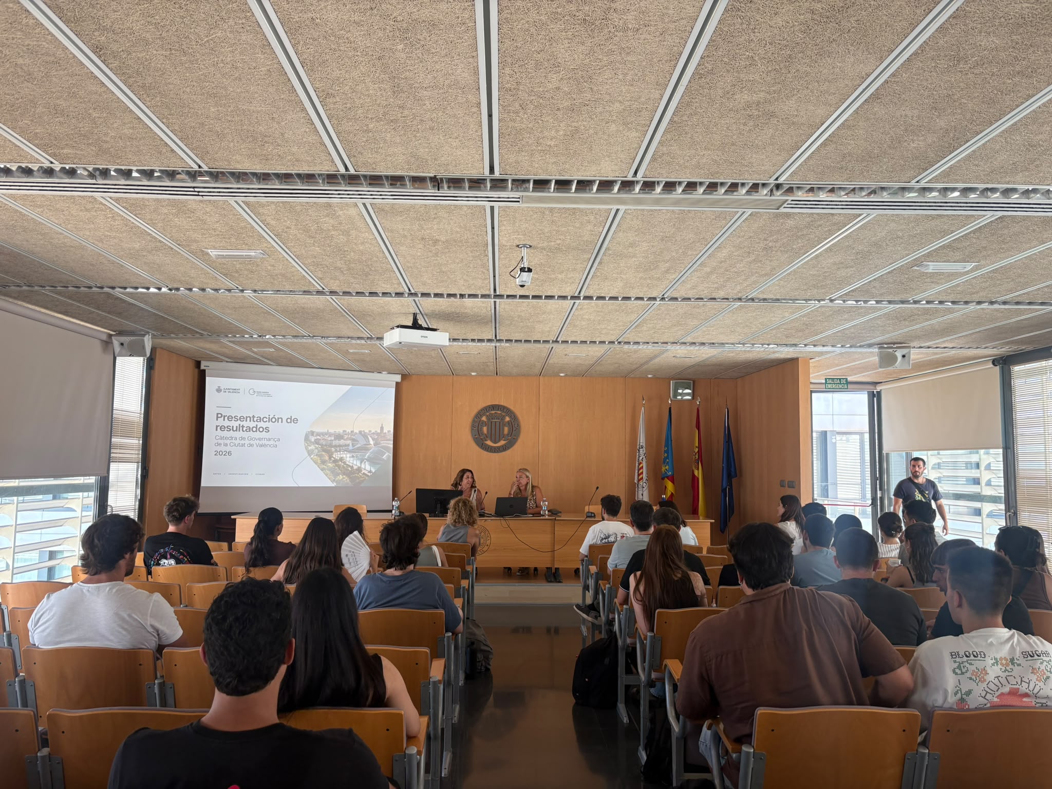
AgriGIS presents two geospatial analysis projects at the Results Presentation Day of the Chair of Governance of the City of València
Sep 16, 2026 — by admin
The Chair of Governance of the City of València held its annual results presentation event, where the different projects and activities developed throughout the year were presented. Among them, two projects developed within the framework of AgriGIS showcased the application of geospatial technologies to agricultural and territorial analysis.
The AGRI-GIS European Project Consortium Advances in Prague on the Development of Digital Tools for Sustainable Agriculture
May 24, 2026 — by admin in Uncategorized
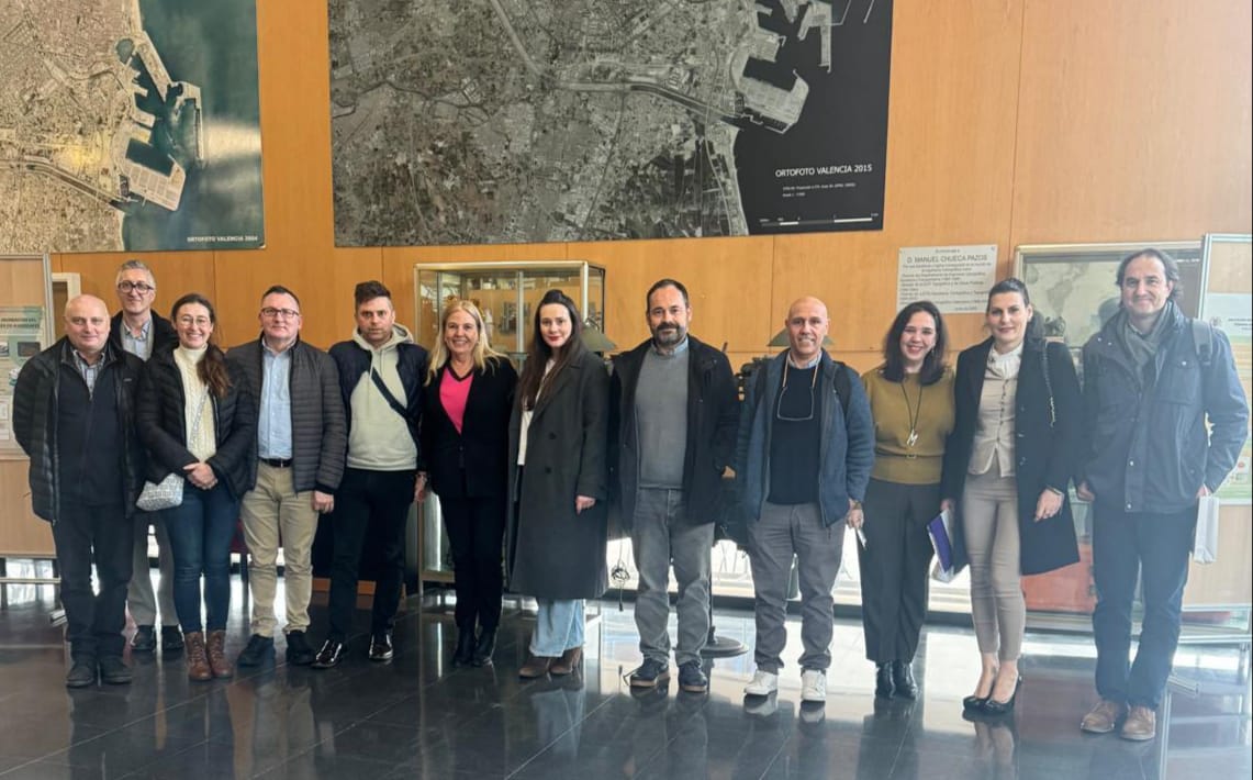
The international consortium of the AGRI-GIS European project recently met in Prague (Czech Republic) to evaluate the progress of its research lines and coordinate the upcoming phases of development. During the meeting, partners from the various participating European entities worked collaboratively on the design and optimization of innovative geospatial tools aimed at accelerating the digital transformation of the agricultural sector.
-
AGRI-GIS Project Holds Its First Coordination Meetings
Read more: AGRI-GIS Project Holds Its First Coordination MeetingsPartners begin shaping the project’s implementation roadmap, key lines of action, and collaborative working framework. The AGRI-GIS project has officially taken its first steps forward with the celebration of its initial coordination meetings. These sessions marked the beginning of a shared working process among project partners and provided an important opportunity to define the foundations…
-
AGRI-GIS Consortium Meets at UPV Valencia to Present National Progress and Outline Project Structure
Read more: AGRI-GIS Consortium Meets at UPV Valencia to Present National Progress and Outline Project StructureThe Universitat Politècnica de València (UPV) has hosted the latest international meeting of the AGRI-GIS European project consortium. The main objective of this working session was to present the specific progress made by each participating country, particularly focusing on the technical contributions and baseline studies integrated into Annex I of the project. Defining the Project…
Interested in applying GIS solutions to your farming activities?
Join the AGRI-GIS training programme and learn how to use geospatial data to support more sustainable and climate-resilient agricultural practices